
Geospatial Analytics
Location-Driven Intelligence for Smarter Decisions
Enterprise-grade GIS strategy, ArcGIS implementation, mobile field operations, and geo-dashboards, engineered to put location at the center of business decisions.
Most enterprise decisions have a "where" attached to them, where customers live, where assets move, where risks concentrate, where territories overlap. Yet location data often sits trapped in source systems, disconnected from analytics layers and invisible to decision-makers. Techknomatic helps organizations unlock that intelligence with end-to-end geospatial analytics services built on the ESRI ArcGIS platform.
As an ESRI Partner, we deliver full-stack GIS implementations, from ArcGIS Enterprise and Online setup to mobile field operations, geo-dashboards, route optimisation, and spatial risk analytics. Our work spans BFSI, Mining & Energy, Pharma, Utilities, Retail, and Agriculture, with proven delivery across India, UAE, and Oman, giving enterprises the location intelligence layer that traditional BI alone can't provide.
What We Offer
Six core capabilities that span the full geospatial analytics lifecycle, from platform to field to dashboard.

ArcGIS Platform Implementation
Full-stack ArcGIS implementation across Enterprise, Online, and Pro for enterprise-grade GIS environments.

Geo-Dashboards & Visualisations
Interactive map visualisations built in ArcGIS, Power BI Maps, Tableau, and Qlik.

Field Operations & Mobile GIS
ArcGIS Field Maps and Survey123 for real-time field data collection and asset management.
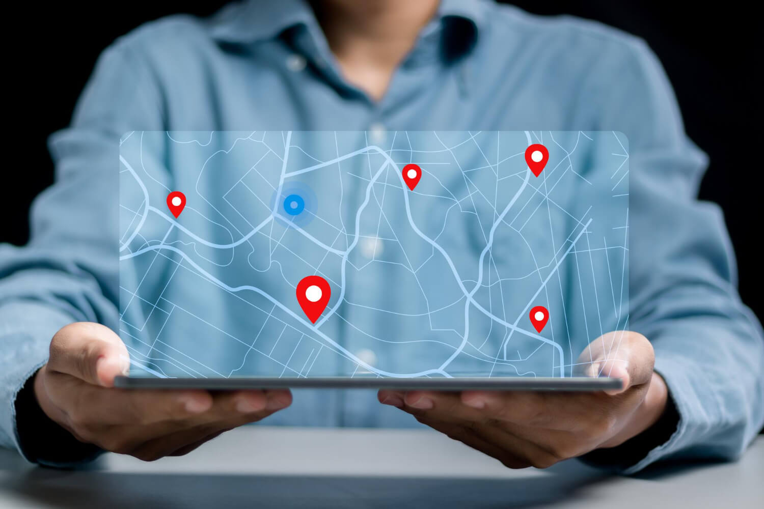
Location Data Integration
Seamless integration with SAP, Salesforce, IoT systems, and external geodata sources.

Route Optimisation & Territory Planning
Data-driven territory design and route optimisation for sales, service, and logistics teams.
Spatial Risk & Pattern Detection
Heatmaps, fraud clustering, and spatial pattern analysis for risk management and underwriting.
Tools & Technology
A platform-agnostic stack, we choose the right tool for your architecture, not the other way around.

Our Approach
A proven 5-step delivery framework that takes you from spatial discovery to enterprise-scale GIS adoption.
Discover
Understand spatial business questions, assess available location data, and map integration points.
Design
Define GIS architecture, data layers, coordinate systems, integration topology, and visualization strategy.
Build
Configure the ArcGIS environment, build geo-dashboards, and integrate with source systems and BI tools.
Field-Enable
Deploy mobile tools for field force, configure data collection forms, and establish real-time sync.
Scale & Govern
Establish geodata governance, automate refresh pipelines, and expand to new use cases and regions.
Use Cases
Four high-impact geospatial intelligence programs we deliver for enterprises.
Geospatial Location Intelligence & Market Expansion Analytics
Transform enterprise entity data into a spatial intelligence engine for sales and market growth.
Geo-code and classify 10,000+ enterprise entities from MCA records, business directories, and branch datasets into a centralized spatial master database. Apply proximity mapping, territory optimization, white-space analysis, and hotspot detection to identify high-potential sales corridors and improve market coverage visibility.
Industries
BFSI · Retail · Telecom · Logistics · FMCG
Impact
Improved territory planning · Faster expansion decisions · Optimized market coverage
Geospatial Healthcare Intelligence & Hospital Network Analytics
Analyze healthcare accessibility and optimize facility network expansion using advanced GIS.
Integrate hospital locations, service coverage data, and demographic layers into a spatial healthcare intelligence platform. Use drive-time mapping, KDE, catchment area modeling, and underserved region (white-space) analysis to optimize healthcare expansion planning and service coverage across target geographies.
Industries
Healthcare · HealthTech · Insurance · Public Health · Hospital Networks
Impact
Improved accessibility analysis · Optimized expansion planning · Enhanced coverage visibility
Geospatial Site Suitability & Retail Expansion Analytics
Identify high-potential outlet locations using multi-criteria spatial intelligence.
Integrate outlet data, traffic patterns, competitor presence, POI, and demographic profiles into a spatial suitability engine. Apply multi-criteria analysis, footfall heatmaps, delivery zone optimization, and trade area modeling to evaluate site feasibility and accelerate data-driven outlet expansion decisions for food chains and retailers.
Industries
QSR · Retail · FMCG · Food & Beverage · Franchise Expansion
Impact
Improved site selection · Reduced expansion risk · Optimized delivery coverage
Geospatial Oil Spill Detection & Environmental Monitoring Analytics
Detect, monitor, and respond to environmental risks using remote sensing and GIS.
Process high-resolution aerial and satellite imagery alongside pipeline corridor data to detect oil spill anomalies, map affected zones, and assess environmental impact. Leverage OBIA, spectral analysis, change detection, and geo-fencing to enable proactive risk management and faster emergency response planning across operational corridors.
Industries
Oil & Gas · Energy · Environmental Monitoring · Utilities · Pipeline Infrastructure
Impact
Improved spill detection · Faster risk identification · Enhanced compliance readiness